
How Satellite Mapping Helps Create Houselisting Blocks
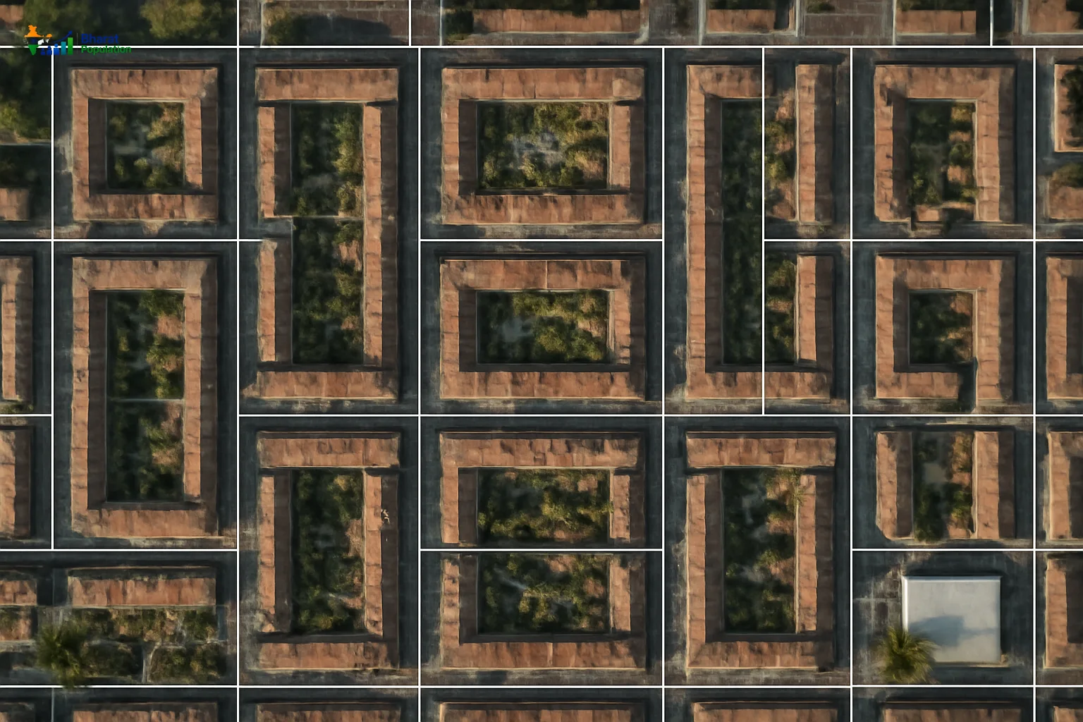
The Importance of Houselisting Blocks in Census 2027
The upcoming Census 2027 in India is set to undergo significant transformations, particularly in how houselisting blocks are formed. Houselisting blocks serve as fundamental units for organizing census data, ensuring that every household is accounted for during the enumeration process. An effective census relies on precise delineation of these blocks, which is where satellite mapping comes into play.
Utilizing Satellite Imagery
Satellite mapping technology enables the creation of detailed, accurate maps that guide Charge Officers in forming houselisting blocks. With tools like the Houselisting Block Creator (HLBC) web-mapping application, authorities can access high-resolution satellite imagery to identify residential areas, ensuring comprehensive coverage and minimizing the chances of omissions or overlaps in coverage.
Benefits of Satellite Mapping in Houselisting
- Enhanced Accuracy: Satellite images present a clear view of current land use and housing developments.
- Real-time Updates: Changes in infrastructure and urban development can be quickly reflected in the maps.
- Reduced Duplication: Helps prevent the risk of double counting by clearly demarcating block boundaries.
- Efficiency in Enumeration: Aids in effective planning and strategizing for enumerators, facilitating better resource allocation.
Process of Houselisting Block Creation
The creation of houselisting blocks is integral to the Census 2027 methodology. Administrative units were finalized as of January 1, 2026, to maintain consistency during the counting process. This phase, scheduled for April to September 2026, involves the following steps:
- Data Collection: Using satellite imagery, Charge Officers identify households within designated blocks.
- Field Verification: Enumerators will confirm the exact number of residents and structures during their door-to-door visits.
- Monitoring Progress: The Census Management & Monitoring System (CMMS) allows for tracking the enumeration progress in real time, providing immediate feedback on field performance.
The Role of Technology in Census 2027
Advancements in technology are significantly enhancing the traditional methods of census enumeration. The CMMS not only supports the creation of houselisting blocks but also facilitates various operational aspects, including the appointment of enumerators and managing their training. This integrated approach guarantees that the process is streamlined and efficient.
Frequently Asked Questions
1. What are houselisting blocks?
Houselisting blocks are designated areas where census enumerators collect data about households. They serve as the basic units for organizing census data.
2. How does satellite mapping improve the census process?
Satellite mapping improves the census process by providing accurate and updated imagery to define boundaries and prevent overlapping coverage of households.
3. What is the Timeline for Census 2027?
Phase I, focusing on houselisting and housing census, is scheduled from April to September 2026, following a self-enumeration period.
4. What tools are used for creating houselisting blocks?
The Houselisting Block Creator (HLBC) web-mapping application is the primary tool leveraged for creating these blocks, alongside satellite imagery.
5. How can technology assist in enumerator training?
Technology such as the CMMS allows for the efficient management of enumerator training, appointments, and fieldwork assignments, enhancing overall preparation.
6. What is the significance of real-time monitoring in Census 2027?
Real-time monitoring permits authorities to swiftly address issues during the enumeration process, leading to improved accuracy and completeness of data.